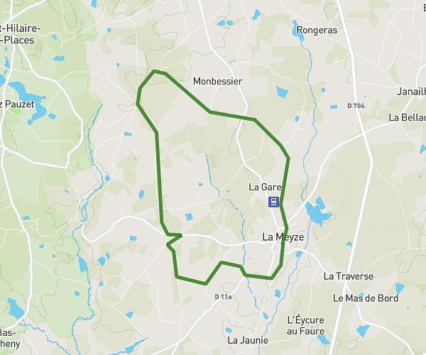
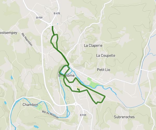
This running route covers 3.193mi starting from Thiviers, Dordogne. The run is a loop trail and returns to the trailhead. This run is rated as easy, expect about 44m2s to complete it. The route has an elevation gain of 253ft and an elevation loss of 253ft.
Course 5km
Route details
4.35mph
Speed
503 kcal
Calories burned
Loop trail
Route type
784ft
Min altitude
886ft
Max altitude
Route profile
253ft
Elevation gain
253ft
Elevation loss
784ft
Min altitude
886ft
Max altitude
How to get there
Trailhead: 1835 Route Napoléon, 24800 Thiviers, France
GPS coordinates of the trailhead: 45.432241, 0.934862 / 45°25'56'' N, 0°56'5'' E