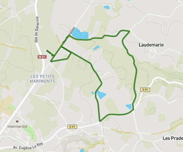
This running route covers 5.312mi starting from Brantôme en Périgord, Dordogne. The run is a loop trail and returns to the trailhead. This run is rated as moderate, expect about 1h13m to complete it. The route has an elevation gain of 157ft and an elevation loss of 82ft.
Course à pied à Brantôme
Route details
4.35mph
Speed
838 kcal
Calories burned
Loop trail
Route type
358ft
Min altitude
453ft
Max altitude
Route profile
157ft
Elevation gain
82ft
Elevation loss
358ft
Min altitude
453ft
Max altitude
How to get there
Trailhead: 28 Impasse Abbé Audierne, 24310 Brantôme en Périgord, France
GPS coordinates of the trailhead: 45.358469, 0.65425 / 45°21'30'' N, 0°39'15'' E