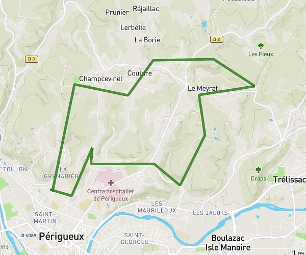
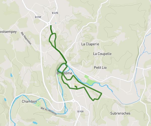
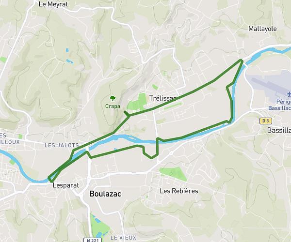
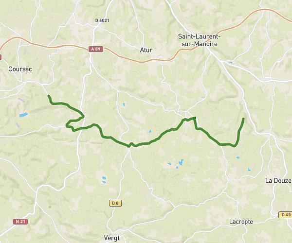
This running route covers 2.715mi starting from Montrem, Dordogne. The run is a loop trail and returns to the trailhead. This run is rated as easy, expect about 37m26s to complete it. The route has an elevation gain of 89ft and an elevation loss of 89ft.
4,369 kilomètres
Route details
4.35mph
Speed
428 kcal
Calories burned
Loop trail
Route type
217ft
Min altitude
249ft
Max altitude
Route profile
89ft
Elevation gain
89ft
Elevation loss
217ft
Min altitude
249ft
Max altitude
How to get there
Trailhead: 735 Route Astérienne, 24110 Montrem, France
GPS coordinates of the trailhead: 45.152829, 0.562907 / 45°9'10'' N, 0°33'46'' E