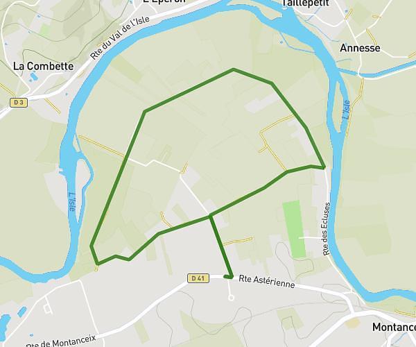
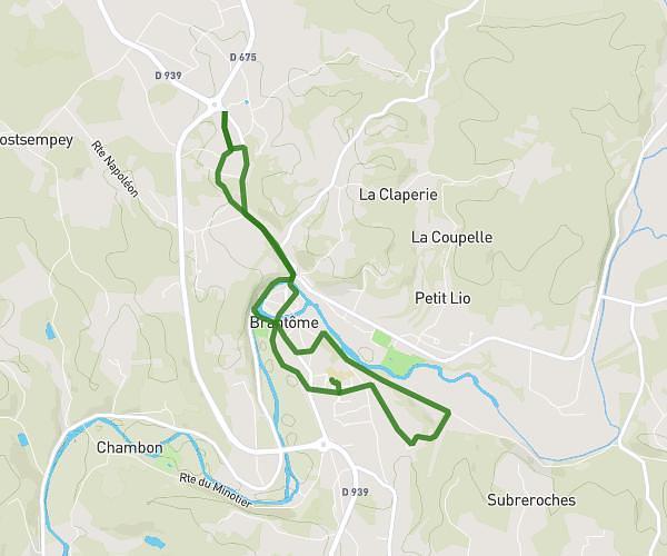
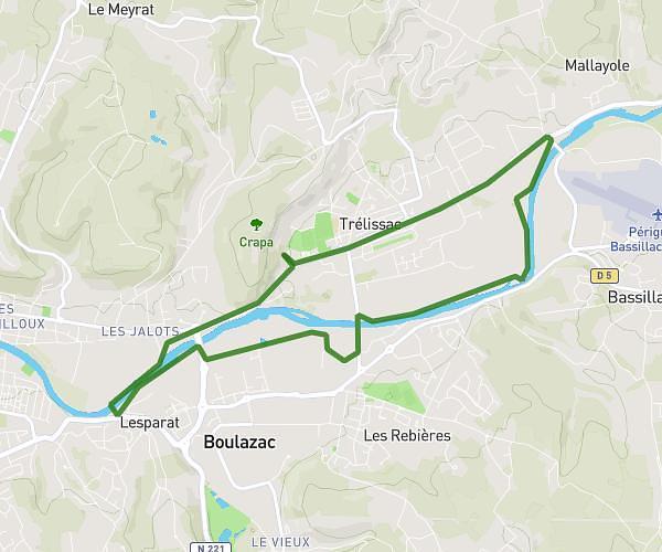
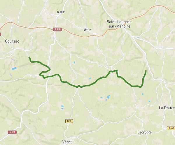
This running route covers 10.555mi starting from Périgueux, Dordogne. The run is a loop trail and returns to the trailhead. This run is rated as hard, expect about 1h53m to complete it. The route has an elevation gain of 1493ft and an elevation loss of 1496ft.
cypo perigueux
Route details
5.59mph
Speed
1295 kcal
Calories burned
Loop trail
Route type
361ft
Min altitude
781ft
Max altitude
Route profile
1493ft
Elevation gain
1496ft
Elevation loss
361ft
Min altitude
781ft
Max altitude
How to get there
Trailhead: 1 Boulevard Ampère, 24000 Périgueux, France
GPS coordinates of the trailhead: 45.193223, 0.713557 / 45°11'35'' N, 0°42'48'' E