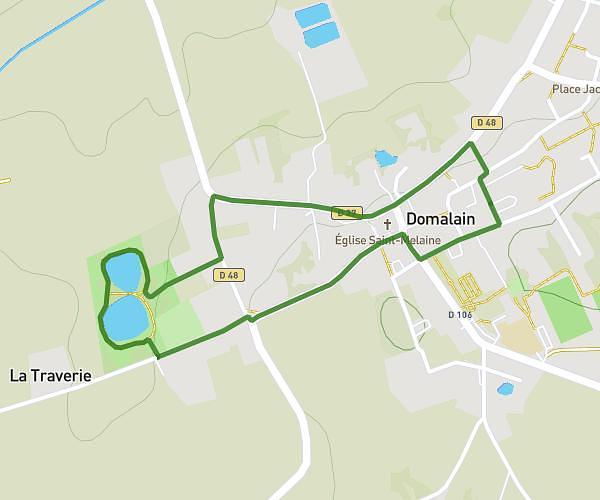
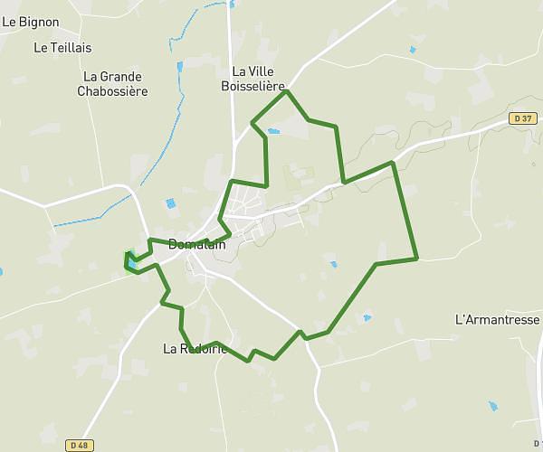
This hiking trail covers 2.282mi starting from Piré-Chancé, Ille-et-Vilaine. The hike is a loop trail and returns to the trailhead. This hike is rated as easy, plan for about 36m to complete it. The route has an elevation gain of 148ft and an elevation loss of 148ft.
Marche + course
Route details
3.8mph
Speed
257 kcal
Calories burned
2.5%
Avg grade
Loop trail
Route type
164ft
Min altitude
213ft
Max altitude
Route profile
148ft
Elevation gain
148ft
Elevation loss
164ft
Min altitude
213ft
Max altitude
How to get there
Trailhead: 11 Impasse Saint-Marc, 35680 Piré-Chancé, France
GPS coordinates of the trailhead: 48.03508, -1.38004 / 48°2'6'' N, 1°22'48'' W