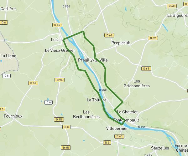
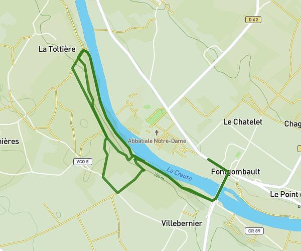
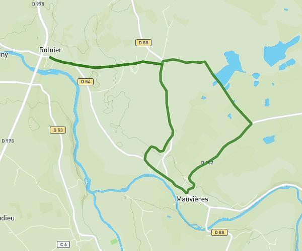
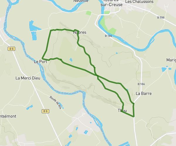
This running route covers 8.753mi starting from Le Blanc, Indre. The run does not return to the trailhead and ends near Chemin Du Petit Pont, 36300 Ciron. This run is rated as hard, expect about 1h25m to complete it. The route has an elevation gain of 174ft and an elevation loss of 243ft.
Ciron
Route details
6.18mph
Speed
972 kcal
Calories burned
Point to point
Route type
282ft
Min altitude
397ft
Max altitude
Route profile
174ft
Elevation gain
243ft
Elevation loss
282ft
Min altitude
397ft
Max altitude
How to get there
Trailhead: Rue Lionel Bordessolles, 36300 Le Blanc
GPS coordinates of the trailhead: 46.63882, 1.07266 / 46°38'19'' N, 1°4'21'' E