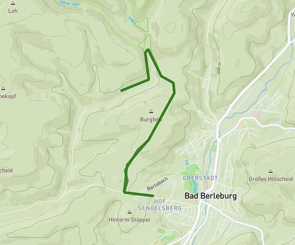
This hiking trail covers 1.758mi starting from Hatzfeld, Hesse. The hike is a loop trail and returns to the trailhead. This hike is rated as easy, plan for about 39m to complete it. The route has an elevation gain of 154ft and an elevation loss of 157ft.
Rundweg Heiligenberg 3km
Route details
2.7mph
Speed
281 kcal
Calories burned
3.4%
Avg grade
Loop trail
Route type
1070ft
Min altitude
1132ft
Max altitude
Route profile
154ft
Elevation gain
157ft
Elevation loss
1070ft
Min altitude
1132ft
Max altitude
How to get there
Trailhead: Feldstraße 1, 35116 Hatzfeld, Germany
GPS coordinates of the trailhead: 50.988481, 8.600281 / 50°59'18'' N, 8°36'1'' E