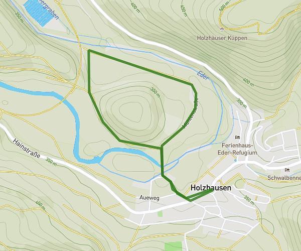
This hiking trail covers 5.593mi starting from Bad Berleburg, North Rhine-Westphalia. The hike is a loop trail and returns to the trailhead. This hike is rated as moderate, plan for about 1h25m to complete it. The route has an elevation gain of 830ft and an elevation loss of 830ft.
4. Drei Städte Marsch 2025
Route details
3.95mph
Speed
623 kcal
Calories burned
5.6%
Avg grade
Loop trail
Route type
1552ft
Min altitude
1913ft
Max altitude
Route profile
830ft
Elevation gain
830ft
Elevation loss
1552ft
Min altitude
1913ft
Max altitude
How to get there
Trailhead: Am Sengelsberg 50, 57319 Bad Berleburg, Germany
GPS coordinates of the trailhead: 51.04787, 8.37778 / 51°2'52'' N, 8°22'40'' E