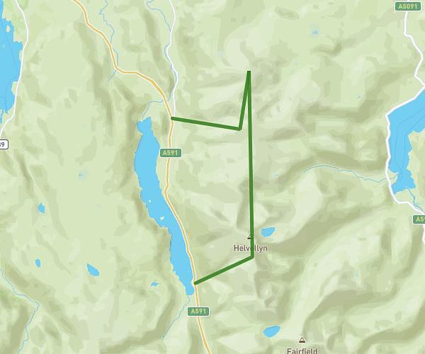
This hiking trail covers 10.617mi starting from Penrith, England. The hike is a loop trail and returns to the trailhead. This hike is rated as strenuous, plan for about 5h25m to complete it. The route has an elevation gain of 3169ft and an elevation loss of 3163ft.
Helvelian Walk
Route details
1.96mph
Speed
2493 kcal
Calories burned
11.3%
Avg grade
Loop trail
Route type
509ft
Min altitude
3077ft
Max altitude
Steep climb
Route profile
3169ft
Elevation gain
3163ft
Elevation loss
509ft
Min altitude
3077ft
Max altitude
How to get there
Trailhead: Greenside Road, Glenridding, Penrith, CA11 0PG, United Kingdom
GPS coordinates of the trailhead: 54.544915, -2.950487 / 54°32'41'' N, 2°57'1'' W