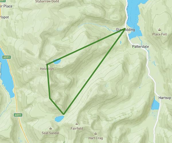
This hiking trail covers 7.614mi starting from Seascale, England. The hike is a loop trail and returns to the trailhead. This hike is rated as strenuous, plan for about 6h30m to complete it. The route has an elevation gain of 2933ft and an elevation loss of 2936ft.
Scafell Pike
Route details
1.17mph
Speed
3062 kcal
Calories burned
14.6%
Avg grade
Loop trail
Route type
217ft
Min altitude
3150ft
Max altitude
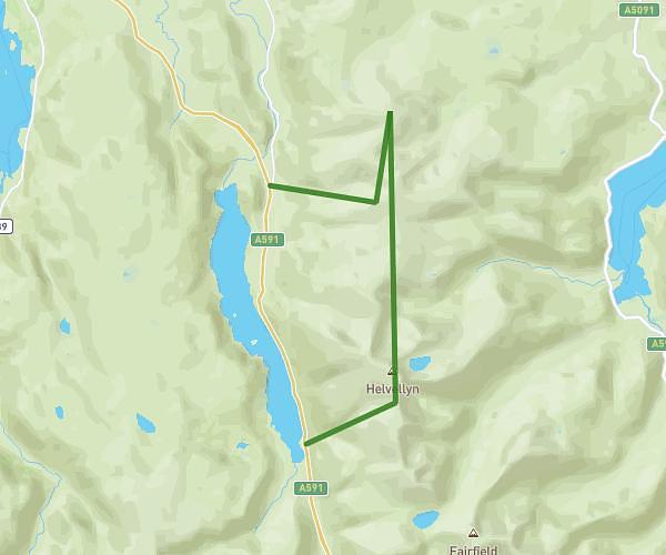
Steep climb
Route profile
2933ft
Elevation gain
2936ft
Elevation loss
217ft
Min altitude
3150ft
Max altitude
How to get there
Trailhead: CA20 1EX, Seascale, Cumbria, England, United Kingdom
GPS coordinates of the trailhead: 54.45617, -3.26276 / 54°27'22'' N, 3°15'45'' W