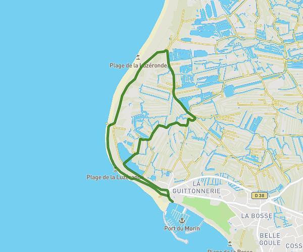
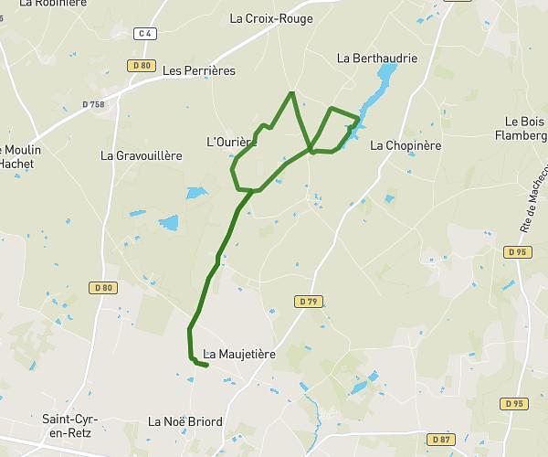
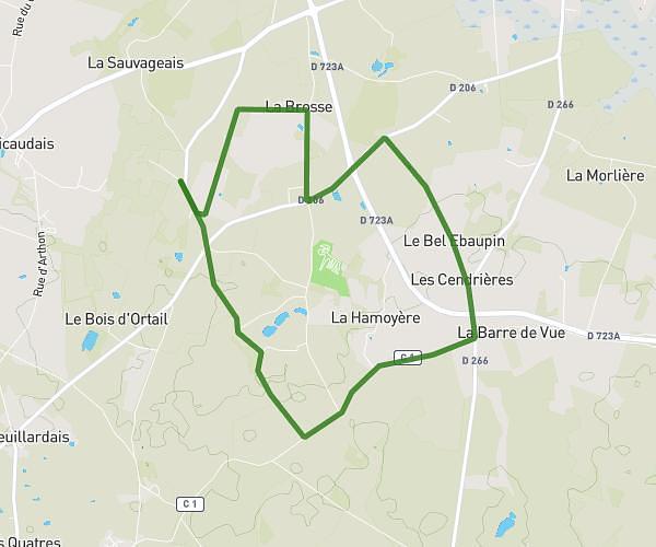
This running route covers 5.891mi starting from Pornic, Loire-Atlantique. The run is a loop trail and returns to the trailhead. This run is rated as moderate, expect about 57m to complete it. The route has an elevation gain of 315ft and an elevation loss of 315ft.
pornic ria
Route details
5.59mph
Speed
652 kcal
Calories burned
Loop trail
Route type
3ft
Min altitude
102ft
Max altitude
Route profile
315ft
Elevation gain
315ft
Elevation loss
3ft
Min altitude
102ft
Max altitude
How to get there
Trailhead: Rue Du Général Thorthon, 44210 Pornic
GPS coordinates of the trailhead: 47.11241, -2.10108 / 47°6'44'' N, 2°6'3'' W