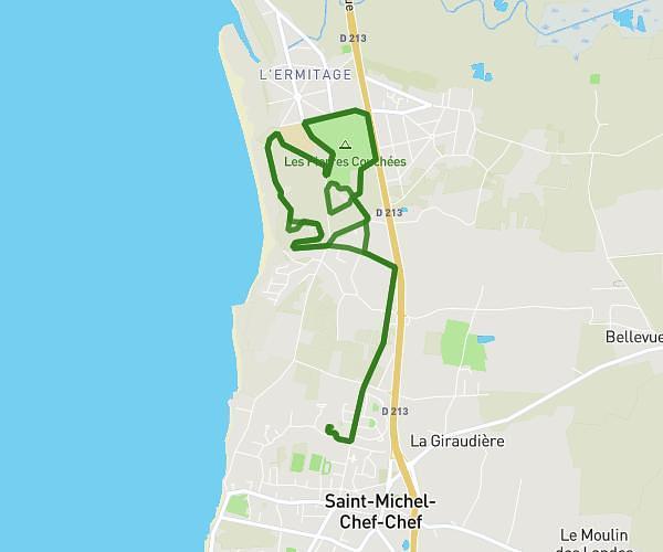
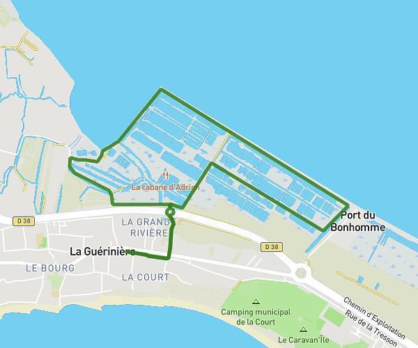
This running route covers 3.525mi starting from L'Épine, Vendée. The run is a loop trail and returns to the trailhead. This run is rated as easy, expect about 37m49s to complete it. The route has an elevation gain of 131ft and an elevation loss of 125ft.
TriNo
Route details
5.59mph
Speed
432 kcal
Calories burned
Loop trail
Route type
0ft
Min altitude
20ft
Max altitude
Route profile
131ft
Elevation gain
125ft
Elevation loss
0ft
Min altitude
20ft
Max altitude
How to get there
Trailhead: Port Du Morin, 85740 L'Épine, France
GPS coordinates of the trailhead: 46.985504, -2.29216 / 46°59'7'' N, 2°17'31'' W