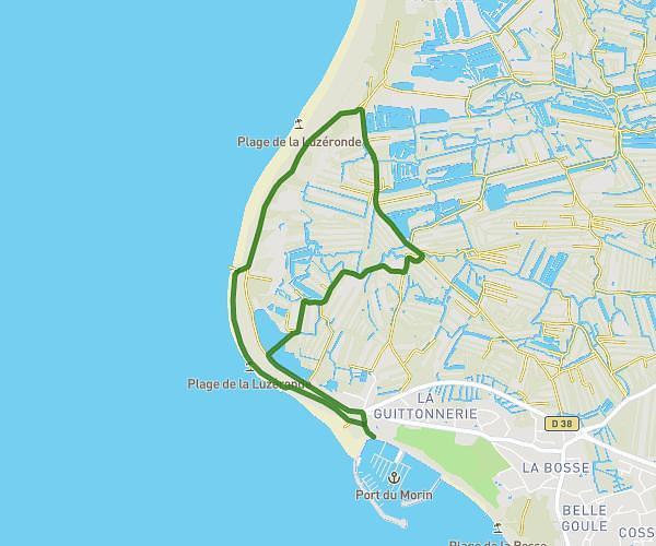
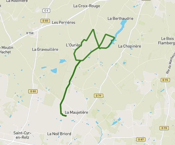
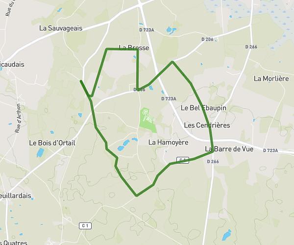
This running route covers 7.796mi starting from Saint-Michel-Chef-Chef, Loire-Atlantique. The run is a loop trail and returns to the trailhead. This run is rated as hard, expect about 1h15m to complete it. The route has an elevation gain of 36ft and an elevation loss of 30ft.
Saint Michel Chef Chef
Route details
6.24mph
Speed
858 kcal
Calories burned
Loop trail
Route type
49ft
Min altitude
79ft
Max altitude
Route profile
36ft
Elevation gain
30ft
Elevation loss
49ft
Min altitude
79ft
Max altitude
How to get there
Trailhead: Allée Des Frégates, 44730 Saint-Michel-Chef-Chef
GPS coordinates of the trailhead: 47.18616, -2.15259 / 47°11'10'' N, 2°9'9'' W