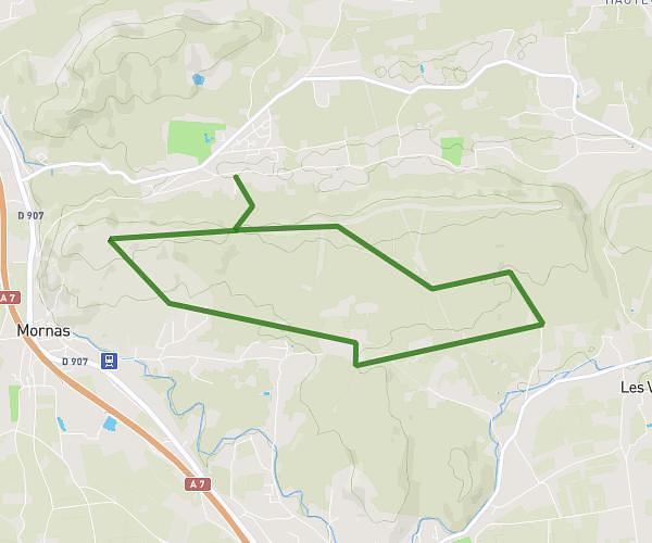
This hiking trail covers 2.418mi starting from Chusclan, Gard. The hike does not return to the trailhead and ends near 52 Chemin Du Plateau, 30200 Vénéjan, France. This hike is rated as moderate, plan for about 58m57s to complete it. The route has an elevation gain of 318ft and an elevation loss of 561ft.
Moulin venejean
Route details
2.46mph
Speed
430 kcal
Calories burned
6.9%
Avg grade
Point to point
Route type
440ft
Min altitude
807ft
Max altitude
Route profile
318ft
Elevation gain
561ft
Elevation loss
440ft
Min altitude
807ft
Max altitude
How to get there
Trailhead: 2061 Chemin De Gicon, 30200 Chusclan, France
GPS coordinates of the trailhead: 44.17272, 4.671578 / 44°10'21'' N, 4°40'17'' E