MapPlanner
13.999mi
Distance
2h15m
Duration
9:39/mi
Pace
Strenuous
Level

Relais des laiteries

Route details

6.22mph
Speed
1544 kcal
Calories burned
Point to point
Route type
66ft
Min altitude
259ft
Max altitude

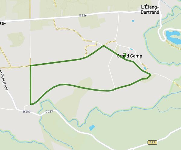
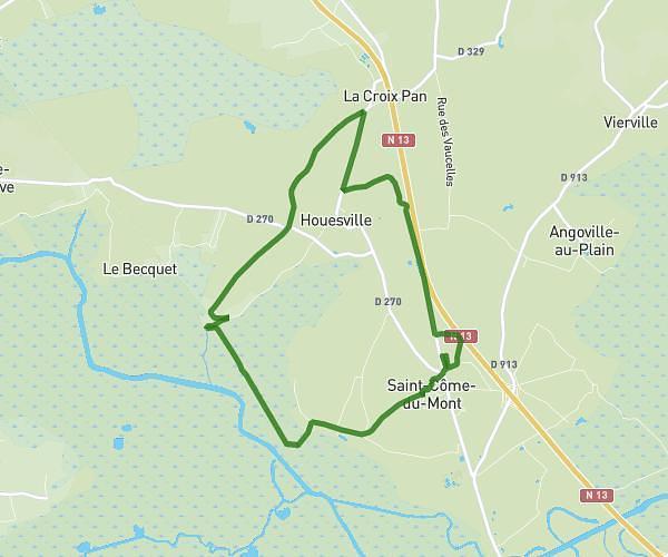
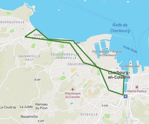
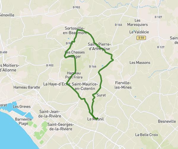
This running route covers 13.999mi starting from Négreville, Manche. The run does not return to the trailhead and ends near 1 Chemin Du Séminaire, 50260 Sottevast, France. This run is rated as strenuous, expect about 2h15m to complete it. The route has an elevation gain of 233ft and an elevation loss of 138ft.

Description of the route by the creator

22 kms

(Description automatically translated)

Route profile

233ft
Elevation gain
138ft
Elevation loss
66ft
Min altitude
259ft
Max altitude

How to get there

Trailhead: 832 Impasse De La Croix Jacob, 50260 Négreville, France

GPS coordinates of the trailhead: 49.51534, -1.55654 / 49°30'55'' N, 1°33'23'' W

Caution: May Cross Private Property

This route may pass through or near private property. Always respect posted signs, obtain permission where required, and follow local trespassing laws. MapPlanner does not guarantee public access along any route.

Safety Notice

Trail and road conditions may change without notice due to weather, construction, or other factors. Always verify current conditions before heading out. You are responsible for your own safety — follow local signage, obey traffic laws, and use your best judgment on the trail.