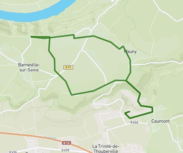
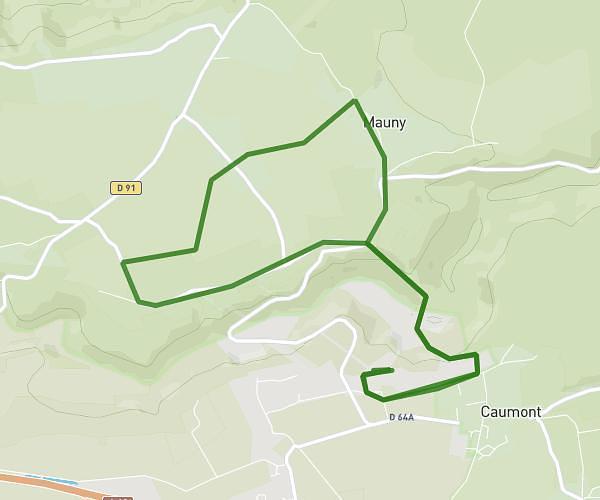
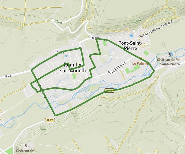
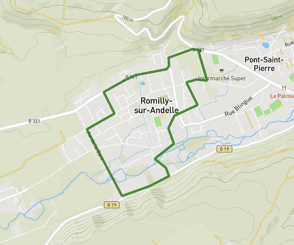
This running route covers 0.621mi starting from Crestot, Eure. The run does not return to the trailhead and ends near Route De Crestot, 27110 Crestot, France. This run is rated as easy, expect about 4m to complete it. The route has an elevation gain of 7ft and an elevation loss of 33ft.
Dernier km
Route details
9.32mph
Speed
46 kcal
Calories burned
Point to point
Route type
479ft
Min altitude
505ft
Max altitude
Route profile
7ft
Elevation gain
33ft
Elevation loss
479ft
Min altitude
505ft
Max altitude
How to get there
Trailhead: 12 Rue De L'église, 27110 Crestot, France
GPS coordinates of the trailhead: 49.204427, 0.972244 / 49°12'15'' N, 0°58'20'' E