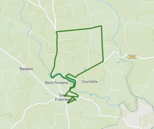
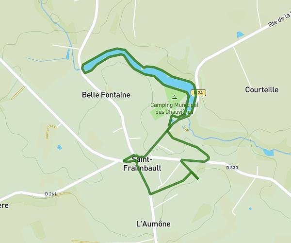
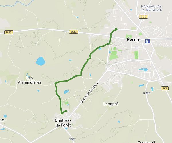
This hiking trail covers 4.535mi starting from Mayenne, Mayenne. The hike does not return to the trailhead and ends near 69 Le Perron, 53300 Oisseau, France. This hike is rated as easy, plan for about 1h20m to complete it. The route has an elevation gain of 285ft and an elevation loss of 262ft.
Maison -Maison
Route details
3.4mph
Speed
571 kcal
Calories burned
2.3%
Avg grade
Point to point
Route type
371ft
Min altitude
525ft
Max altitude
Route profile
285ft
Elevation gain
262ft
Elevation loss
371ft
Min altitude
525ft
Max altitude
How to get there
Trailhead: 141 Rue Du Point Du Jour, 53100 Mayenne, France
GPS coordinates of the trailhead: 48.29962, -0.62482 / 48°17'58'' N, 0°37'29'' W