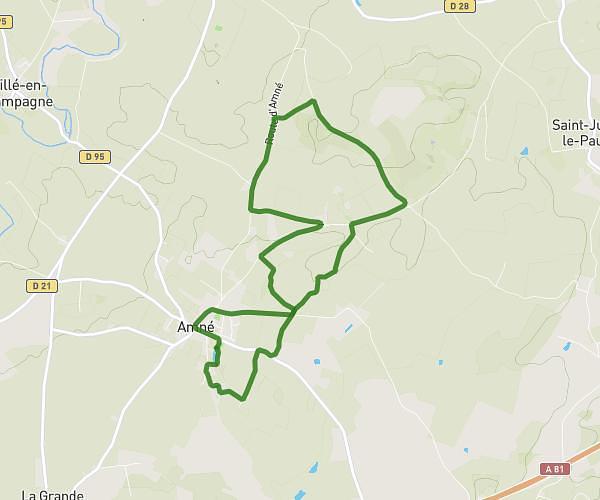
This hiking trail covers 2.589mi starting from Évron, Mayenne. The hike does not return to the trailhead and ends near Place Des Sources, 53600 Évron. This hike is rated as easy, plan for about 1h to complete it. The route has an elevation gain of 141ft and an elevation loss of 180ft.
Marche
Route details
2.59mph
Speed
427 kcal
Calories burned
2.4%
Avg grade
Point to point
Route type
292ft
Min altitude
371ft
Max altitude
Route profile
141ft
Elevation gain
180ft
Elevation loss
292ft
Min altitude
371ft
Max altitude
How to get there
Trailhead: Rue De L'orgerie, 53600 Évron
GPS coordinates of the trailhead: 48.15908, -0.41006 / 48°9'32'' N, 0°24'36'' W