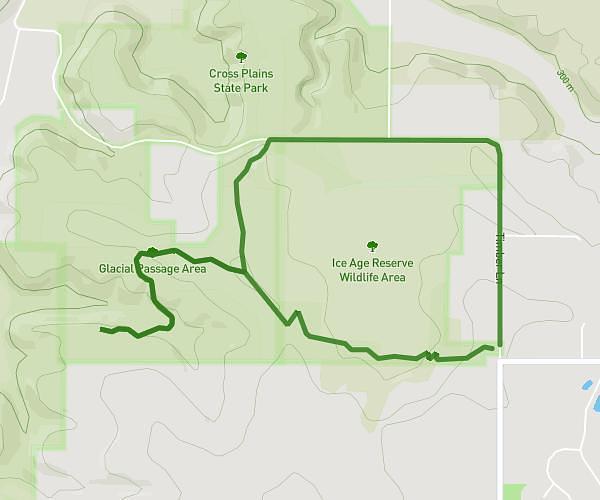
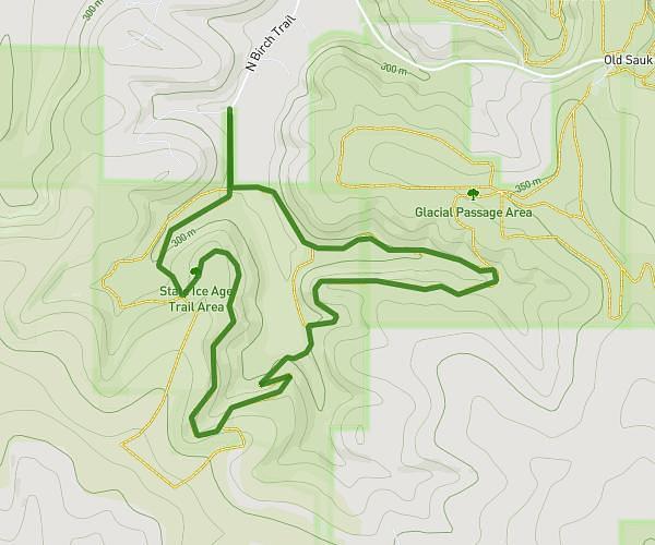
This hiking trail covers 8.637mi starting from Verona, Wisconsin. The hike is a loop trail and returns to the trailhead. This hike is rated as moderate, plan for about 34m to complete it. The route has an elevation gain of 843ft and an elevation loss of 843ft.
University Ridge
Route details
15.24mph
Speed
245 kcal
Calories burned
3.7%
Avg grade
Loop trail
Route type
978ft
Min altitude
1184ft
Max altitude
Route profile
843ft
Elevation gain
843ft
Elevation loss
978ft
Min altitude
1184ft
Max altitude
How to get there
Trailhead: 6861 Cross Country Road, Verona, Wisconsin 53593, United States
GPS coordinates of the trailhead: 43.001853, -89.525258 / 43°0'6'' N, 89°31'30'' W