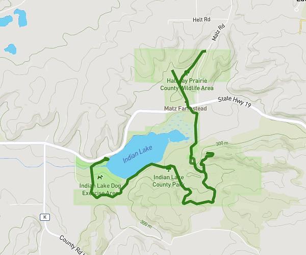
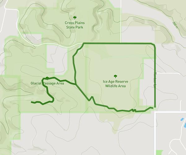
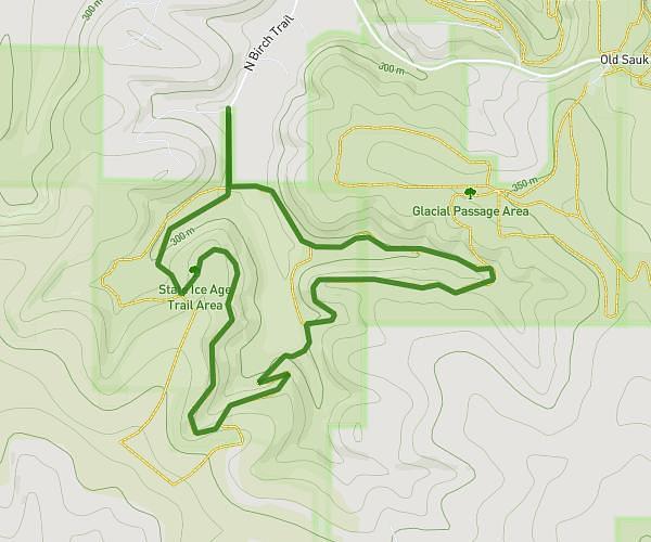
This hiking trail covers 1.984mi starting from Cross Plains, Wisconsin. The hike is a loop trail and returns to the trailhead. This hike is rated as moderate, plan for about 5m to complete it. The route has an elevation gain of 505ft and an elevation loss of 502ft.
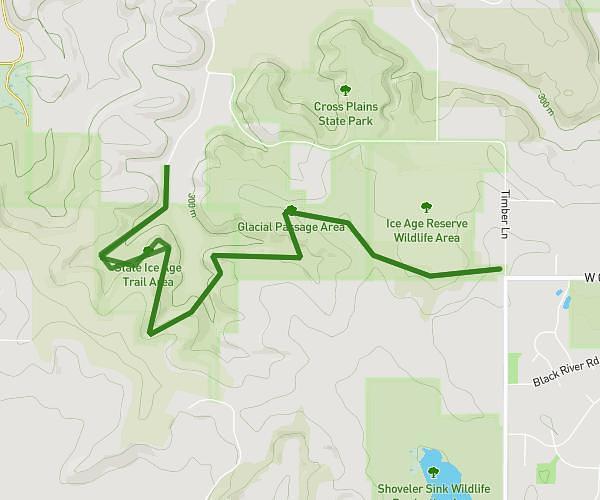
IAT Cross Plains (Part 4)
Route details
23.81mph
Speed
38 kcal
Calories burned
9.6%
Avg grade
Loop trail
Route type
866ft
Min altitude
1050ft
Max altitude
Steep climb
Route profile
505ft
Elevation gain
502ft
Elevation loss
866ft
Min altitude
1050ft
Max altitude
How to get there
Trailhead: County Highway P, 53528 Cross Plains
GPS coordinates of the trailhead: 43.10437, -89.64926 / 43°6'15'' N, 89°38'57'' W