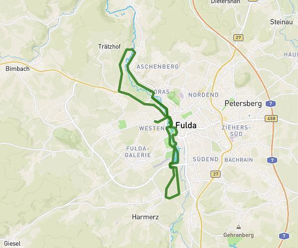
This running route covers 5.042mi starting from Petersberg, Hesse. The run is a loop trail and returns to the trailhead. This run is rated as moderate, expect about 48m41s to complete it. The route has an elevation gain of 308ft and an elevation loss of 315ft.
JFR 8 km
Route details
6.21mph
Speed
557 kcal
Calories burned
Loop trail
Route type
1010ft
Min altitude
1325ft
Max altitude
Route profile
308ft
Elevation gain
315ft
Elevation loss
1010ft
Min altitude
1325ft
Max altitude
How to get there
Trailhead: Steinweg 43, 36100 Petersberg, Germany
GPS coordinates of the trailhead: 50.616311, 9.71765 / 50°36'58'' N, 9°43'3'' E