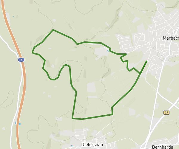
This running route covers 13.235mi starting from Fulda, Hesse. The run does not return to the trailhead and ends near Fuldaer Weg 35, 36039 Fulda, Germany. This run is rated as strenuous, expect about 1h51m to complete it. The route has an elevation gain of 725ft and an elevation loss of 807ft.
Worldrun
Route details
7.1mph
Speed
1278 kcal
Calories burned
Point to point
Route type
787ft
Min altitude
889ft
Max altitude
Route profile
725ft
Elevation gain
807ft
Elevation loss
787ft
Min altitude
889ft
Max altitude
How to get there
Trailhead: Görresstraße 10, 36041 Fulda, Germany
GPS coordinates of the trailhead: 50.55301, 9.656864 / 50°33'10'' N, 9°39'24'' E