MapPlanner
9.294mi
Distance
52m47s
Duration
10.56mph
Speed
+292ft
Elevation gain
-282ft
Elevation loss
Easy
Level

RUTA1

Route details

466 kcal
Calories burned
1.2%
Avg grade
Loop trail
Route type
13ft
Min altitude
92ft
Max altitude

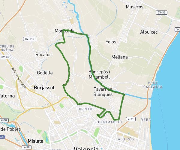
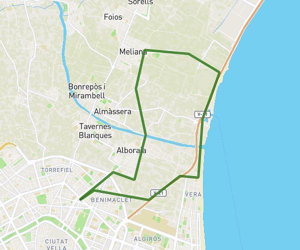
This cycling route covers 9.294mi starting from Massanassa, Valencia. The ride is a loop trail and returns to the trailhead. This route is rated as easy, plan for about 52m47s to complete it. The route has an elevation gain of 292ft and an elevation loss of 282ft.

Route profile

292ft
Elevation gain
282ft
Elevation loss
13ft
Min altitude
92ft
Max altitude

How to get there

Trailhead: Carrer Del Doctor Gil López, 46470 Massanassa

GPS coordinates of the trailhead: 39.41137, -0.39846 / 39°24'40'' N, 0°23'54'' W

Caution: May Cross Private Property

This route may pass through or near private property. Always respect posted signs, obtain permission where required, and follow local trespassing laws. MapPlanner does not guarantee public access along any route.

Safety Notice

Trail and road conditions may change without notice due to weather, construction, or other factors. Always verify current conditions before heading out. You are responsible for your own safety — follow local signage, obey traffic laws, and use your best judgment on the trail.