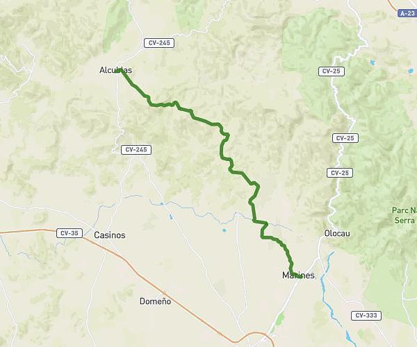
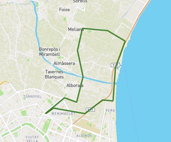
This cycling route covers 14.144mi starting from València, Valencia. The ride is a loop trail and returns to the trailhead. This route is rated as hard, plan for about 1h25m to complete it. The route has an elevation gain of 955ft and an elevation loss of 968ft.
Domingo 13/04/2026
Route details
760 kcal
Calories burned
2.6%
Avg grade
Loop trail
Route type
7ft
Min altitude
121ft
Max altitude
Route profile
955ft
Elevation gain
968ft
Elevation loss
7ft
Min altitude
121ft
Max altitude
How to get there
Trailhead: Carrer Del Duc De Mandas 34, 46019 València, Valencia, Spain
GPS coordinates of the trailhead: 39.491851, -0.367181 / 39°29'30'' N, 0°22'1'' W