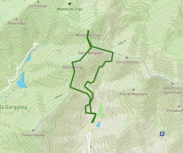
This hiking trail covers 3.216mi starting from Alcorcón, Madrid. The hike is a loop trail and returns to the trailhead. This hike is rated as easy, plan for about 54m to complete it. The route has an elevation gain of 128ft and an elevation loss of 128ft.
Por el barrio
Route details
3.57mph
Speed
383 kcal
Calories burned
1.5%
Avg grade
Loop trail
Route type
2218ft
Min altitude
2297ft
Max altitude
Route profile
128ft
Elevation gain
128ft
Elevation loss
2218ft
Min altitude
2297ft
Max altitude
How to get there
Trailhead: Calle De Estambul 3, 28922 Alcorcón, Madrid, Spain
GPS coordinates of the trailhead: 40.34753, -3.84838 / 40°20'51'' N, 3°50'54'' W