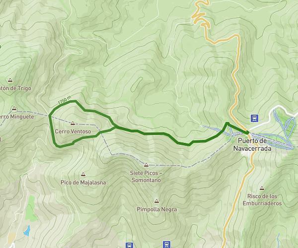
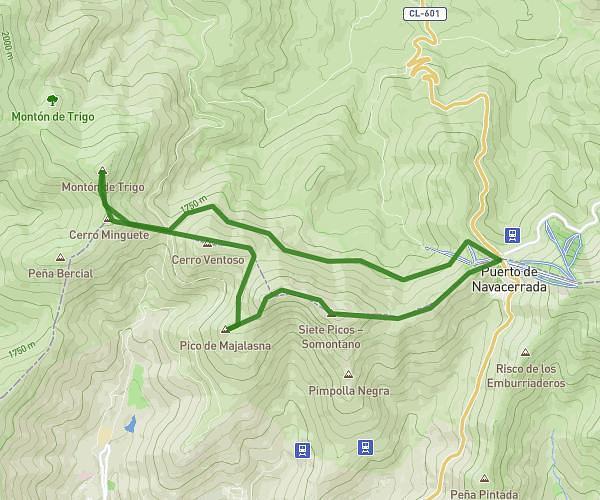
This hiking trail covers 7.05mi starting from Cercedilla, Madrid. The hike is a loop trail and returns to the trailhead. This hike is rated as strenuous, plan for about 3h46m to complete it. The route has an elevation gain of 2657ft and an elevation loss of 2657ft.
Ruta Viernes 25 Julio: Dehesas- Marichiva-Minguete- Trigo-fuenfria
Route details
1.86mph
Speed
1777 kcal
Calories burned
14.3%
Avg grade
Loop trail
Route type
4488ft
Min altitude
6985ft
Max altitude
Steep climb
Route profile
2657ft
Elevation gain
2657ft
Elevation loss
4488ft
Min altitude
6985ft
Max altitude
How to get there
Trailhead: Carretera De Las Dehesas 5, 28479 Cercedilla, Madrid, Spain
GPS coordinates of the trailhead: 40.76809, -4.06895 / 40°46'5'' N, 4°4'8'' W