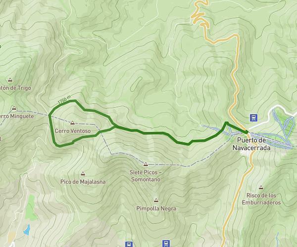
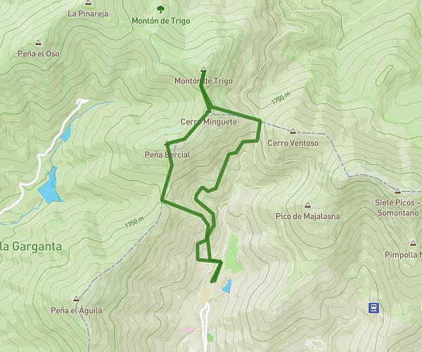
This hiking trail covers 10.407mi starting from Cercedilla, Segovia. The hike is a loop trail and returns to the trailhead. This hike is rated as strenuous, plan for about 5h17m to complete it. The route has an elevation gain of 2805ft and an elevation loss of 2792ft.
Navacerrada - 7 Picos - Trigo Navacerrada Circular
Route details
1.97mph
Speed
2408 kcal
Calories burned
10.2%
Avg grade
Loop trail
Route type
5846ft
Min altitude
6975ft
Max altitude
Steep climb
Route profile
2805ft
Elevation gain
2792ft
Elevation loss
5846ft
Min altitude
6975ft
Max altitude
How to get there
Trailhead: Carretera De Los Cogorros, 28470 Cercedilla, Segovia, Spain
GPS coordinates of the trailhead: 40.78849, -4.00355 / 40°47'18'' N, 4°0'12'' W