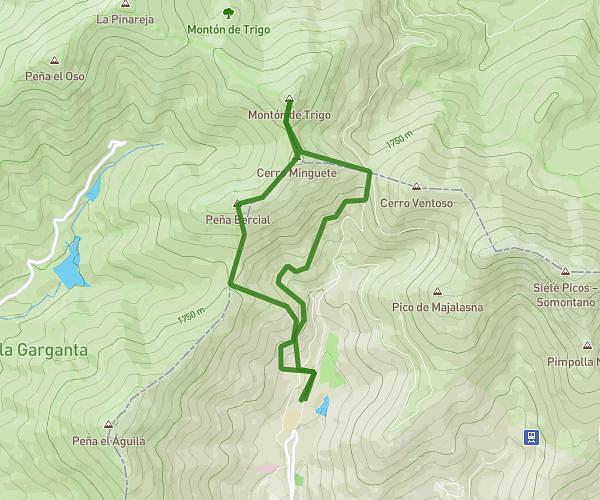
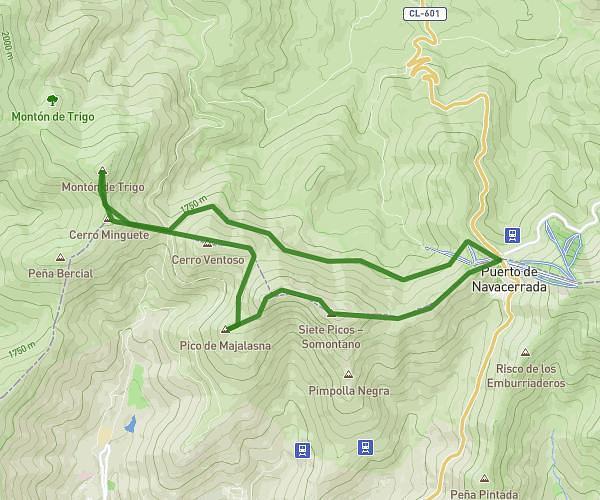
This hiking trail covers 7.451mi starting from Cercedilla, Segovia. The hike is a loop trail and returns to the trailhead. This hike is rated as hard, plan for about 3h59m to complete it. The route has an elevation gain of 1135ft and an elevation loss of 1135ft.
Navacerrada - Schmid - Fuenfria - collado Ventoso - navacerrada
Route details
1.86mph
Speed
1759 kcal
Calories burned
5.8%
Avg grade
Loop trail
Route type
5738ft
Min altitude
6217ft
Max altitude
Route profile
1135ft
Elevation gain
1135ft
Elevation loss
5738ft
Min altitude
6217ft
Max altitude
How to get there
Trailhead: Carretera De Madrid 8, 28470 Cercedilla, Segovia, Spain
GPS coordinates of the trailhead: 40.78862, -4.00335 / 40°47'19'' N, 4°0'12'' W