MapPlanner
4.383mi
Distance
47m1s
Duration
+276ft
Elevation gain
-272ft
Elevation loss
Easy
Level

explo

Route details

5.59mph
Speed
336 kcal
Calories burned
2.4%
Avg grade
Loop trail
Route type
302ft
Min altitude
404ft
Max altitude

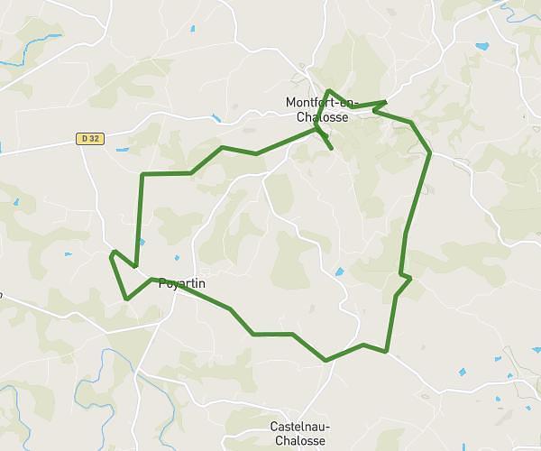
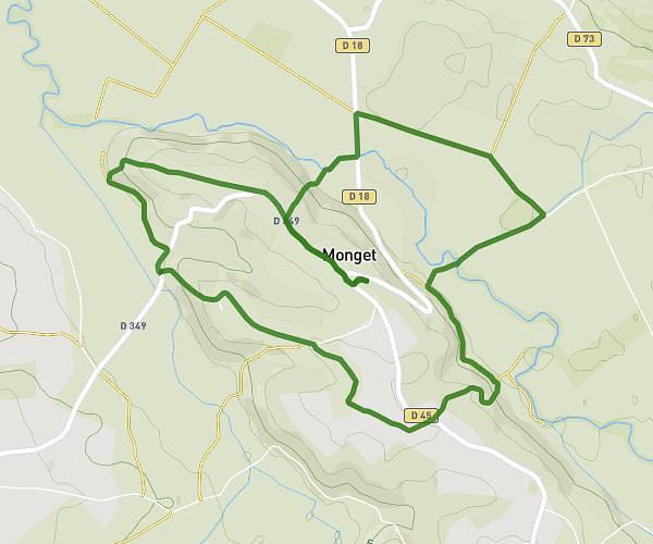
This hiking trail covers 4.383mi starting from Maylis, Landes. The hike is a loop trail and returns to the trailhead. This hike is rated as easy, plan for about 47m1s to complete it. The route has an elevation gain of 276ft and an elevation loss of 272ft.

Route profile

276ft
Elevation gain
272ft
Elevation loss
302ft
Min altitude
404ft
Max altitude

How to get there

Trailhead: 510 Avenue De La Chalosse, 40250 Maylis, France

GPS coordinates of the trailhead: 43.696249, -0.678917 / 43°41'46'' N, 0°40'44'' W

Caution: May Cross Private Property

This route may pass through or near private property. Always respect posted signs, obtain permission where required, and follow local trespassing laws. MapPlanner does not guarantee public access along any route.

Safety Notice

Trail and road conditions may change without notice due to weather, construction, or other factors. Always verify current conditions before heading out. You are responsible for your own safety — follow local signage, obey traffic laws, and use your best judgment on the trail.