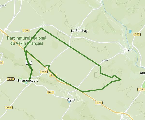
This running route covers 19.267mi starting from Domont, Val-d'Oise. The run is a loop trail and returns to the trailhead. This run is rated as strenuous, expect about 2h to complete it. The route has an elevation gain of 177ft and an elevation loss of 164ft.
Courses 9 communes mairies
Route details
9.63mph
Speed
1372 kcal
Calories burned
Loop trail
Route type
308ft
Min altitude
436ft
Max altitude
Route profile
177ft
Elevation gain
164ft
Elevation loss
308ft
Min altitude
436ft
Max altitude
How to get there
Trailhead: Rue André Nouet, 95330 Domont
GPS coordinates of the trailhead: 49.02513, 2.33527 / 49°1'30'' N, 2°20'6'' E