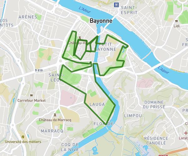
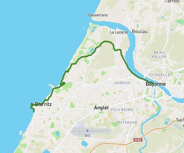
This running route covers 5.731mi starting from Biarritz, Pyrénées-Atlantiques. The run is a loop trail and returns to the trailhead. This run is rated as moderate, expect about 55m to complete it. The route has an elevation gain of 72ft and an elevation loss of 151ft.
Biarritz - 9km
Route details
6.25mph
Speed
629 kcal
Calories burned
Loop trail
Route type
43ft
Min altitude
177ft
Max altitude
Route profile
72ft
Elevation gain
151ft
Elevation loss
43ft
Min altitude
177ft
Max altitude
How to get there
Trailhead: Avenue François Mauriac, 64200 Biarritz
GPS coordinates of the trailhead: 43.47901, -1.55583 / 43°28'44'' N, 1°33'20'' W