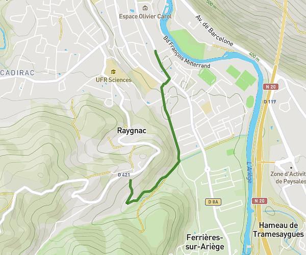
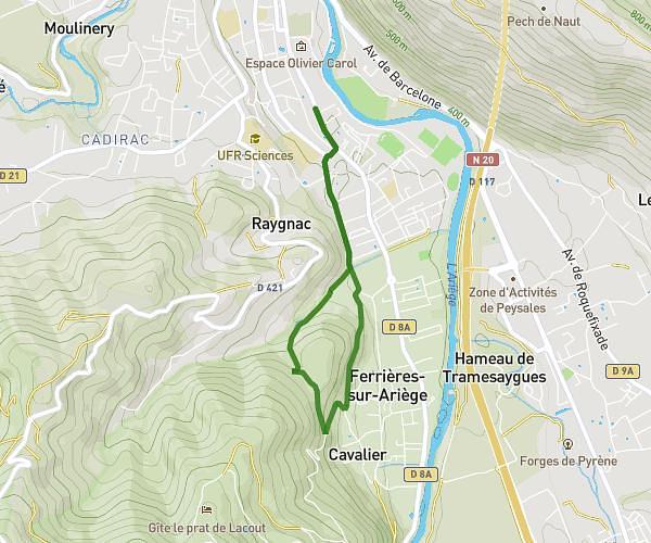
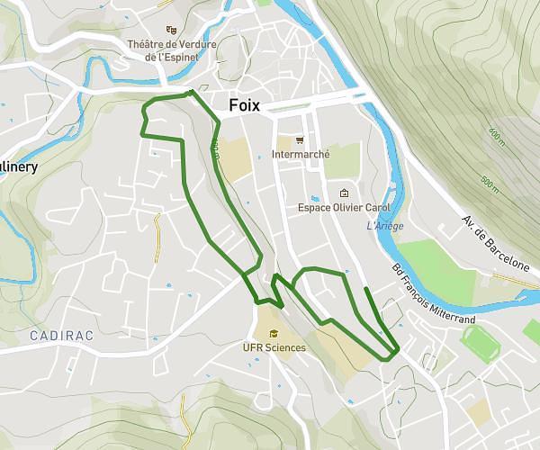
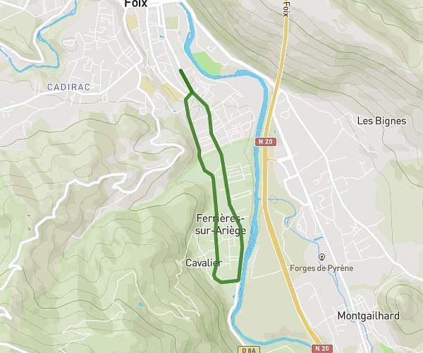
This running route covers 9.177mi starting from Rieucros, Ariège. The run does not return to the trailhead and ends near D 206, 09500 Teilhet, France. This run is rated as hard, expect about 1h38m to complete it. The route has an elevation gain of 902ft and an elevation loss of 945ft.
Maison - coutens - dreuilh
Route details
5.62mph
Speed
1120 kcal
Calories burned
Point to point
Route type
906ft
Min altitude
1529ft
Max altitude
Route profile
902ft
Elevation gain
945ft
Elevation loss
906ft
Min altitude
1529ft
Max altitude
How to get there
Trailhead: 7 Rue Juliette Giret, 09500 Rieucros, France
GPS coordinates of the trailhead: 43.078675, 1.760764 / 43°4'43'' N, 1°45'38'' E