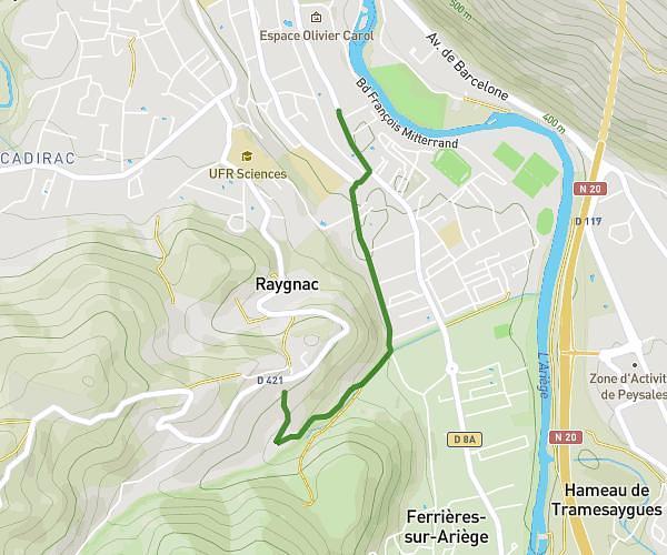
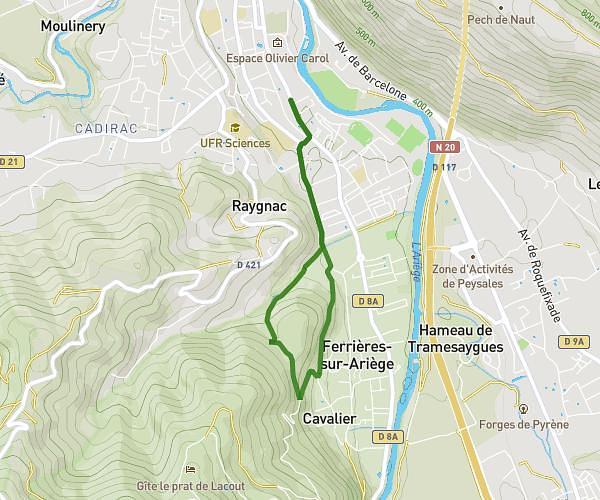
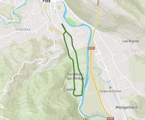
This running route covers 2.895mi starting from Foix, Ariège. The run is a loop trail and returns to the trailhead. This run is rated as easy, expect about 31m to complete it. The route has an elevation gain of 358ft and an elevation loss of 358ft.
MEP
Route details
5.6mph
Speed
354 kcal
Calories burned
Loop trail
Route type
1289ft
Min altitude
1421ft
Max altitude
Route profile
358ft
Elevation gain
358ft
Elevation loss
1289ft
Min altitude
1421ft
Max altitude
How to get there
Trailhead: 31 Avenue Du Général De Gaulle, 09000 Foix, France
GPS coordinates of the trailhead: 42.957463, 1.611209 / 42°57'26'' N, 1°36'40'' E