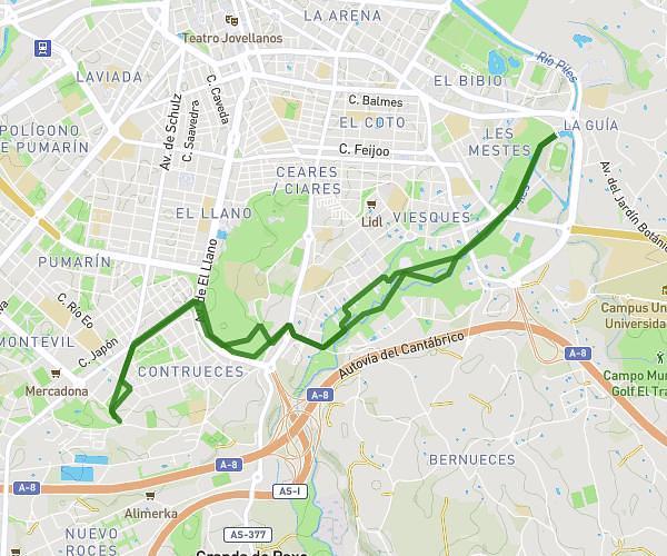
This running route covers 1.112mi starting from Gijón, Asturias. The run does not return to the trailhead and ends near Calle Rodríguez San Pedro 45, 33206 Gijón, Asturias, Spain. This run is rated as easy, expect about 7m to complete it. The route has an elevation gain of 26ft and an elevation loss of 72ft.
ruta
Route details
9.53mph
Speed
80 kcal
Calories burned
Point to point
Route type
0ft
Min altitude
66ft
Max altitude
Route profile
26ft
Elevation gain
72ft
Elevation loss
0ft
Min altitude
66ft
Max altitude
How to get there
Trailhead: Avenida De La Constitución 37, 33208 Gijón, Asturias, Spain
GPS coordinates of the trailhead: 43.53527, -5.6676 / 43°32'6'' N, 5°40'3'' W