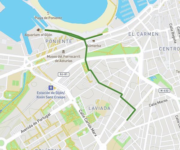
This running route covers 5.641mi starting from Gijón, Asturias. The run is a loop trail and returns to the trailhead. This run is rated as moderate, expect about 1h1s to complete it. The route has an elevation gain of 69ft and an elevation loss of 69ft.
Montevil-Viesques
Route details
5.64mph
Speed
686 kcal
Calories burned
Loop trail
Route type
20ft
Min altitude
89ft
Max altitude
Route profile
69ft
Elevation gain
69ft
Elevation loss
20ft
Min altitude
89ft
Max altitude
How to get there
Trailhead: Calle Antonio Machado 7, 33211 Gijón, Asturias, Spain
GPS coordinates of the trailhead: 43.51697, -5.66968 / 43°31'1'' N, 5°40'10'' W