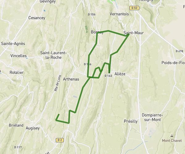
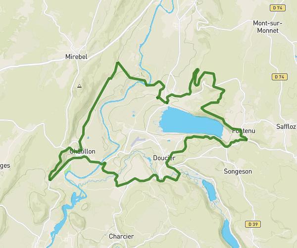
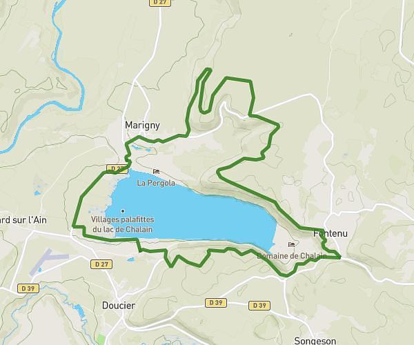
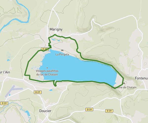
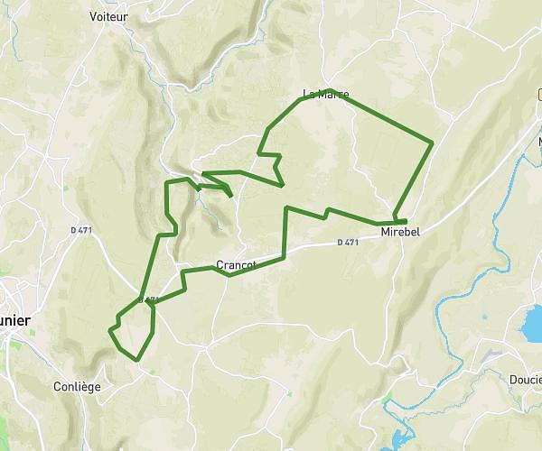
This cycling route covers 14.447mi starting from La Chailleuse, Jura. The ride does not return to the trailhead and ends near D 168, 39270 Reithouse, France. This route is rated as hard, plan for about 2h to complete it. The route has an elevation gain of 1627ft and an elevation loss of 1142ft.
Jardgantans
Route details
1080 kcal
Calories burned
3.6%
Avg grade
Point to point
Route type
1385ft
Min altitude
2113ft
Max altitude
Route profile
1627ft
Elevation gain
1142ft
Elevation loss
1385ft
Min altitude
2113ft
Max altitude
How to get there
Trailhead: 575 Grande Rue, 39270 La Chailleuse, France
GPS coordinates of the trailhead: 46.584066, 5.529449 / 46°35'2'' N, 5°31'46'' E