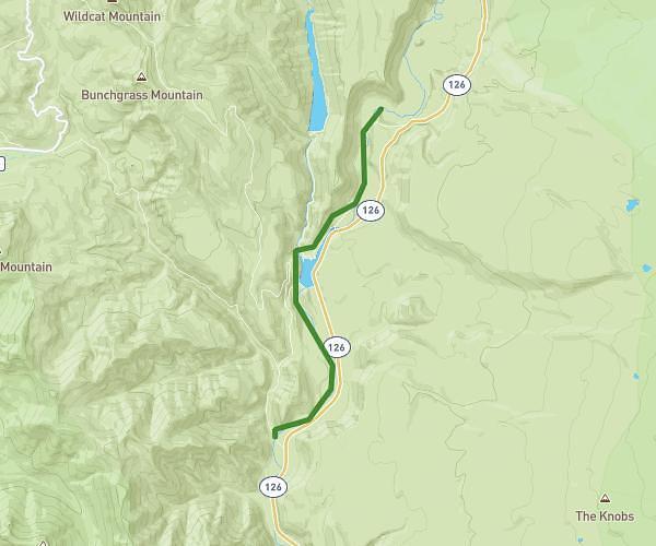
This hiking trail covers 4.9mi starting from Sisters, Oregon. The hike does not return to the trailhead and ends near Nfd-743, Sisters, Oregon 97759, United States. This hike is rated as moderate, plan for about 1h47m to complete it. The route has an elevation gain of 594ft and an elevation loss of 1247ft.
Clear lake to tamolitch blue pool
Route details
2.75mph
Speed
778 kcal
Calories burned
7.1%
Avg grade
Point to point
Route type
2480ft
Min altitude
3140ft
Max altitude
Route profile
594ft
Elevation gain
1247ft
Elevation loss
2480ft
Min altitude
3140ft
Max altitude
How to get there
Trailhead: 60500 Clear Lake-Belknap Springs Highway, Sisters, Oregon 97759, United States
GPS coordinates of the trailhead: 44.360981, -121.992306 / 44°21'39'' N, 121°59'32'' W