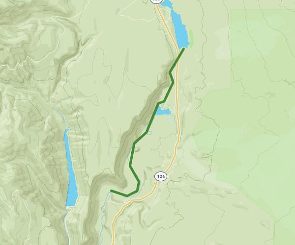
This hiking trail covers 6.814mi starting from Sisters, Oregon. The hike does not return to the trailhead and ends near Deer Creek Road, McKenzie Bridge, Oregon 97413, United States. This hike is rated as hard, plan for about 1h9m to complete it. The route has an elevation gain of 1198ft and an elevation loss of 1759ft.
Tamolitch to deer creek
Route details
5.93mph
Speed
510 kcal
Calories burned
8.2%
Avg grade
Point to point
Route type
1919ft
Min altitude
2487ft
Max altitude
Steep climb
Route profile
1198ft
Elevation gain
1759ft
Elevation loss
1919ft
Min altitude
2487ft
Max altitude
How to get there
Trailhead: Nfd-743, Sisters, Oregon 97759, United States
GPS coordinates of the trailhead: 44.311984, -122.026263 / 44°18'43'' N, 122°1'34'' W