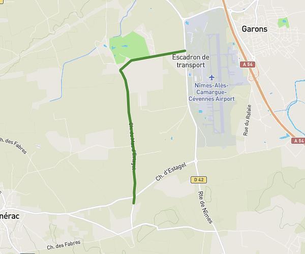
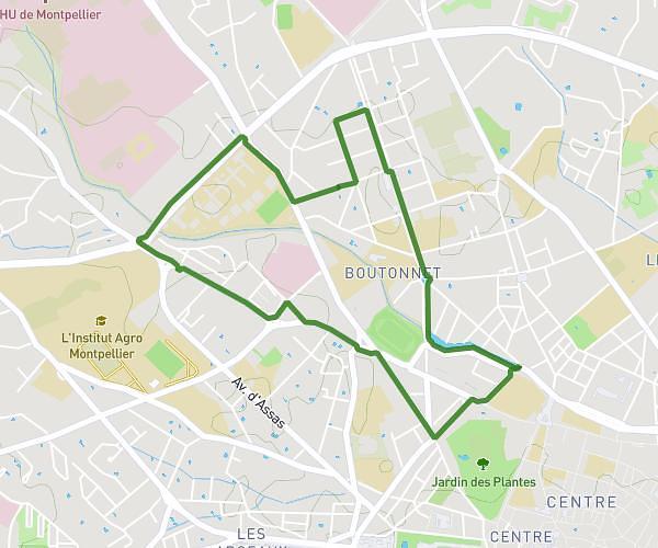
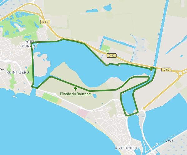
This running route covers 3.894mi starting from Lansargues, Hérault. The run is a loop trail and returns to the trailhead. This run is rated as easy, expect about 50m to complete it. The route has an elevation gain of 144ft and an elevation loss of 144ft.
Parcours maison écurie
Route details
4.67mph
Speed
572 kcal
Calories burned
Loop trail
Route type
0ft
Min altitude
26ft
Max altitude
Route profile
144ft
Elevation gain
144ft
Elevation loss
0ft
Min altitude
26ft
Max altitude
How to get there
Trailhead: Chemin Du Puits Du Roc, 34130 Lansargues, France
GPS coordinates of the trailhead: 43.644515, 4.087185 / 43°38'40'' N, 4°5'13'' E