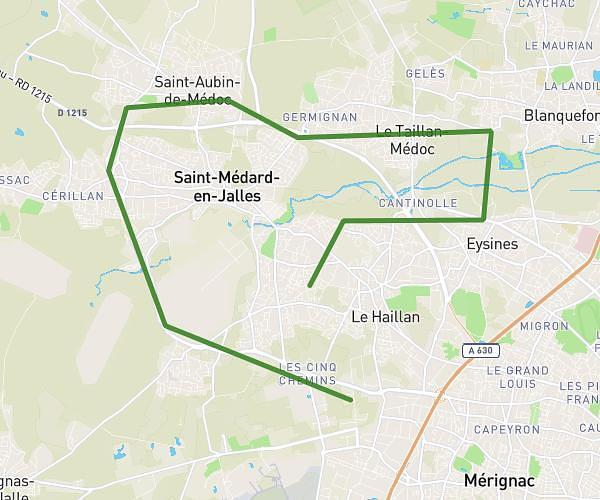
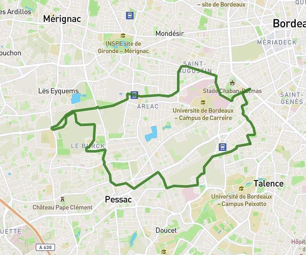
This cycling route covers 1.617mi starting from Mérignac, Gironde. The ride does not return to the trailhead and ends near 9 Rue De La Tour De Veyrines, 33700 Mérignac, France. This route is rated as easy, plan for about 10m24s to complete it. The route has an elevation gain of 125ft and an elevation loss of 79ft.
strasbourg eyquems
Route details
93 kcal
Calories burned
2.4%
Avg grade
Point to point
Route type
52ft
Min altitude
118ft
Max altitude
Route profile
125ft
Elevation gain
79ft
Elevation loss
52ft
Min altitude
118ft
Max altitude
How to get there
Trailhead: 25 Rue De Strasbourg, 33700 Mérignac, France
GPS coordinates of the trailhead: 44.824051, -0.616241 / 44°49'26'' N, 0°36'58'' W