MapPlanner
8.199mi
Distance
49m
Duration
10.04mph
Speed
+36ft
Elevation gain
-43ft
Elevation loss
Easy
Level

14082025

Route details

429 kcal
Calories burned
0.2%
Avg grade
Loop trail
Route type
66ft
Min altitude
98ft
Max altitude

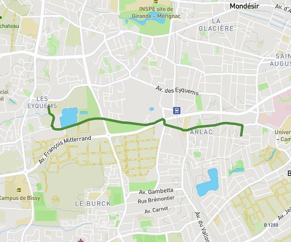
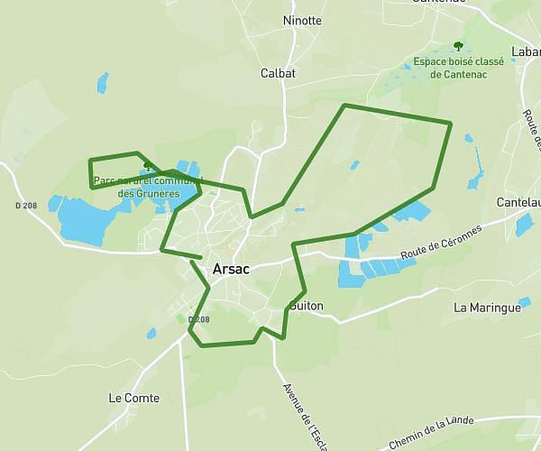
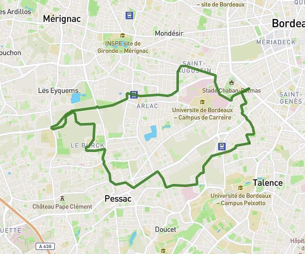
This cycling route covers 8.199mi starting from Arsac, Gironde. The ride is a loop trail and returns to the trailhead. This route is rated as easy, plan for about 49m to complete it. The route has an elevation gain of 36ft and an elevation loss of 43ft.

Route profile

36ft
Elevation gain
43ft
Elevation loss
66ft
Min altitude
98ft
Max altitude

How to get there

Trailhead: 7 Rue De Plaisance, 33460 Arsac, France

GPS coordinates of the trailhead: 44.99838, -0.69369 / 44°59'54'' N, 0°41'37'' W

Caution: May Cross Private Property

This route may pass through or near private property. Always respect posted signs, obtain permission where required, and follow local trespassing laws. MapPlanner does not guarantee public access along any route.

Safety Notice

Trail and road conditions may change without notice due to weather, construction, or other factors. Always verify current conditions before heading out. You are responsible for your own safety — follow local signage, obey traffic laws, and use your best judgment on the trail.