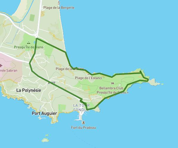
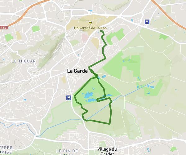
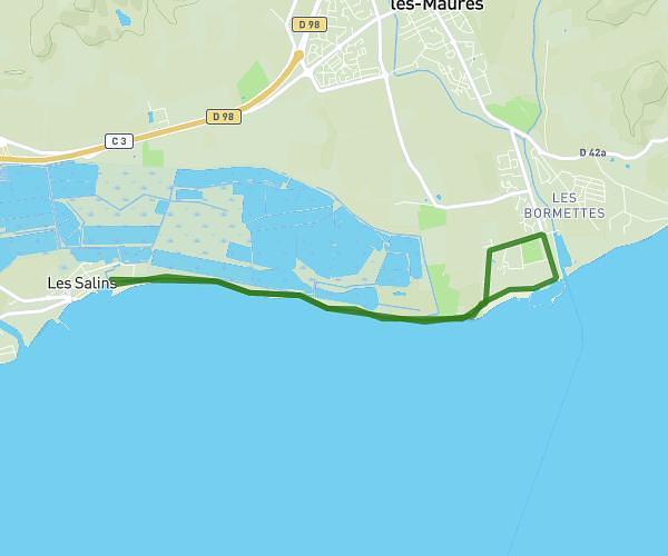
This running route covers 10.808mi starting from Hyères, Var. The run is a loop trail and returns to the trailhead. This run is rated as hard, expect about 1h30m to complete it. The route has an elevation gain of 213ft and an elevation loss of 213ft.
Running ALMAGUADE
Route details
7.21mph
Speed
1029 kcal
Calories burned
Loop trail
Route type
-3ft
Min altitude
30ft
Max altitude
Route profile
213ft
Elevation gain
213ft
Elevation loss
-3ft
Min altitude
30ft
Max altitude
How to get there
Trailhead: 38 Route Du Sel, 83400 Hyères, France
GPS coordinates of the trailhead: 43.07976, 6.12672 / 43°4'47'' N, 6°7'36'' E