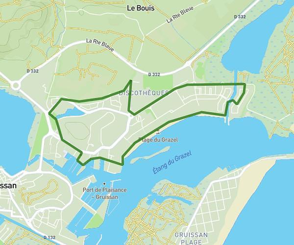
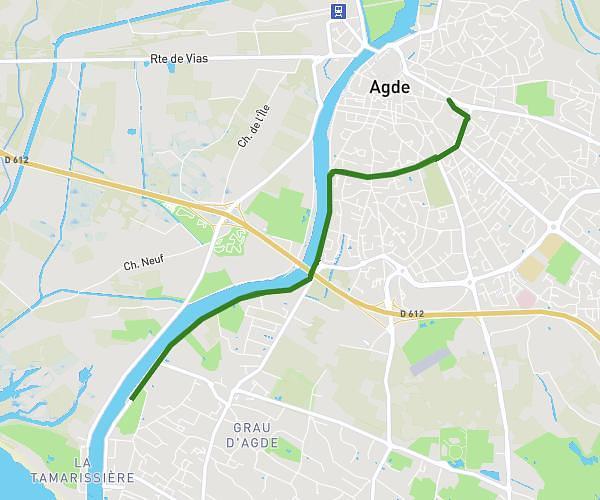
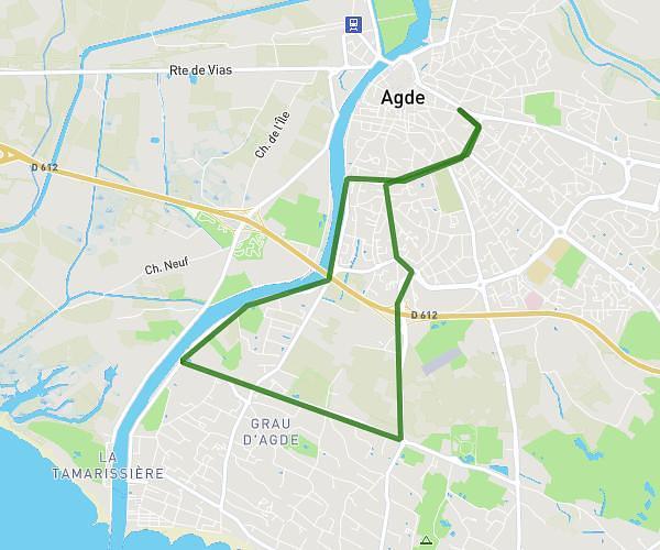
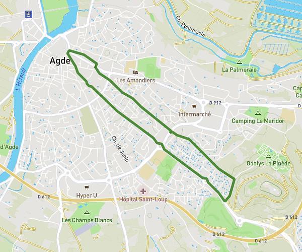
This running route covers 8.58mi starting from Fleury, Aude. The run does not return to the trailhead and ends near 41 Boulevard Des Embruns, 11560 Fleury, France. This run is rated as hard, expect about 1h43m to complete it. The route has an elevation gain of 636ft and an elevation loss of 722ft.
13km - 1h43
Route details
4.97mph
Speed
1184 kcal
Calories burned
Point to point
Route type
-23ft
Min altitude
505ft
Max altitude
Route profile
636ft
Elevation gain
722ft
Elevation loss
-23ft
Min altitude
505ft
Max altitude
How to get there
Trailhead: 7 Rue Bernard Coural, 11560 Fleury, France
GPS coordinates of the trailhead: 43.230539, 3.142578 / 43°13'49'' N, 3°8'33'' E