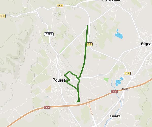
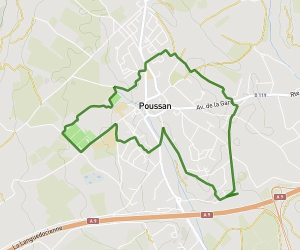
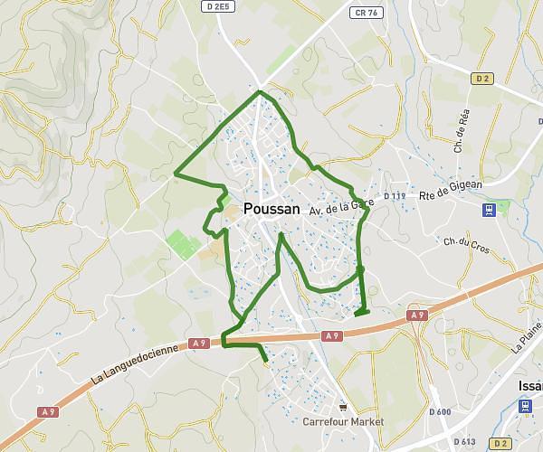
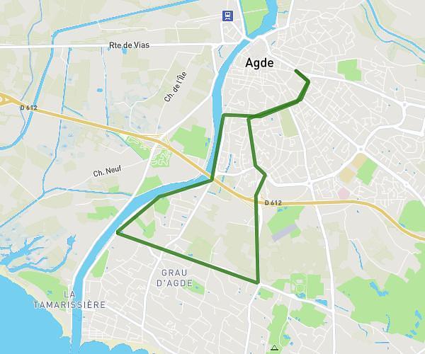
This running route covers 4.937mi starting from Agde, Hérault. The run is a loop trail and returns to the trailhead. This run is rated as easy, expect about 53m to complete it. The route has an elevation gain of 207ft and an elevation loss of 207ft.
Agde 8
Route details
5.59mph
Speed
606 kcal
Calories burned
Loop trail
Route type
0ft
Min altitude
59ft
Max altitude
Route profile
207ft
Elevation gain
207ft
Elevation loss
0ft
Min altitude
59ft
Max altitude
How to get there
Trailhead: Plan René Subra, 34300 Agde, France
GPS coordinates of the trailhead: 43.311614, 3.476163 / 43°18'41'' N, 3°28'34'' E