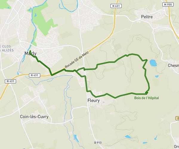
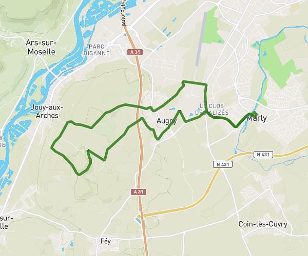
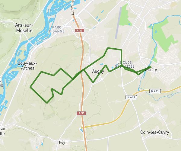
This running route covers 5.243mi starting from Marly, Moselle. The run does not return to the trailhead and ends near 23 Rue Des Godins, 57420 Pommérieux, France. This run is rated as moderate, expect about 44m to complete it. The route has an elevation gain of 243ft and an elevation loss of 171ft.
Marly
Route details
7.15mph
Speed
503 kcal
Calories burned
Point to point
Route type
558ft
Min altitude
643ft
Max altitude
Route profile
243ft
Elevation gain
171ft
Elevation loss
558ft
Min altitude
643ft
Max altitude
How to get there
Trailhead: 4 Impasse Du Moulin, 57155 Marly, France
GPS coordinates of the trailhead: 49.059134, 6.14927 / 49°3'32'' N, 6°8'57'' E