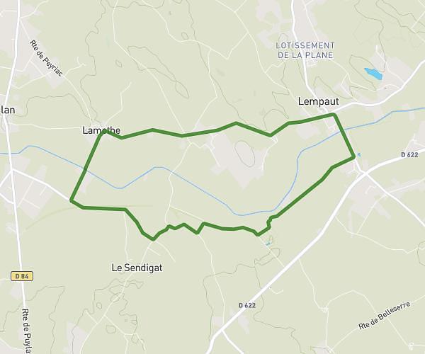
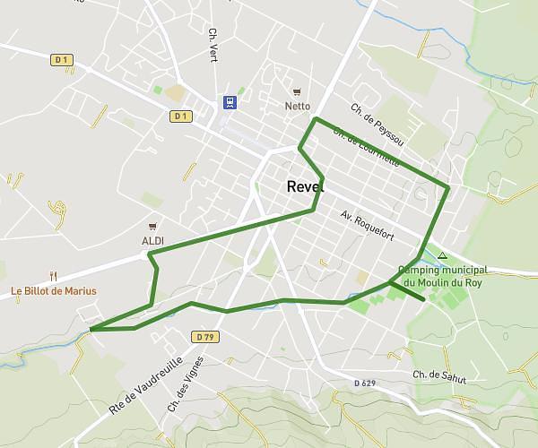
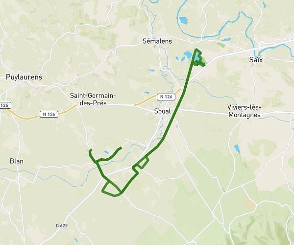
This running route covers 18.4mi starting from Valdurenque, Tarn. The run is a loop trail and returns to the trailhead. This run is rated as strenuous, expect about 3h4m to complete it. The route has an elevation gain of 413ft and an elevation loss of 748ft.
Footing Luc
Route details
6.0mph
Speed
2104 kcal
Calories burned
Loop trail
Route type
643ft
Min altitude
1388ft
Max altitude
Route profile
413ft
Elevation gain
748ft
Elevation loss
643ft
Min altitude
1388ft
Max altitude
How to get there
Trailhead: 117 Chemin De Pech Milan, 81090 Valdurenque, France
GPS coordinates of the trailhead: 43.57788, 2.32977 / 43°34'40'' N, 2°19'47'' E