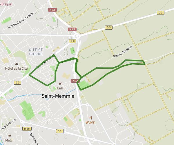
This running route covers 1.955mi starting from Saint-Memmie, Marne. The run is a loop trail and returns to the trailhead. This run is rated as easy, expect about 25m20s to complete it. The route has an elevation gain of 79ft and an elevation loss of 79ft.
3km
Route details
4.63mph
Speed
290 kcal
Calories burned
Loop trail
Route type
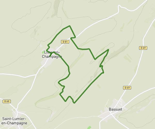
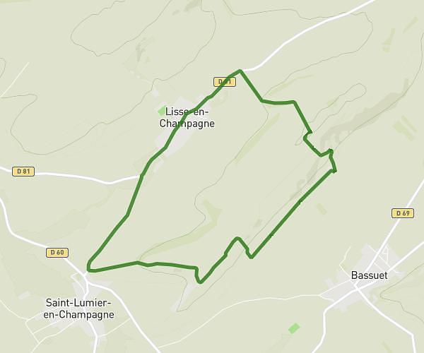
289ft
Min altitude
325ft
Max altitude
Route profile
79ft
Elevation gain
79ft
Elevation loss
289ft
Min altitude
325ft
Max altitude
How to get there
Trailhead: 3 Rue Jean-Baptiste Colbert, 51470 Saint-Memmie, France
GPS coordinates of the trailhead: 48.957132, 4.383391 / 48°57'25'' N, 4°23'0'' E