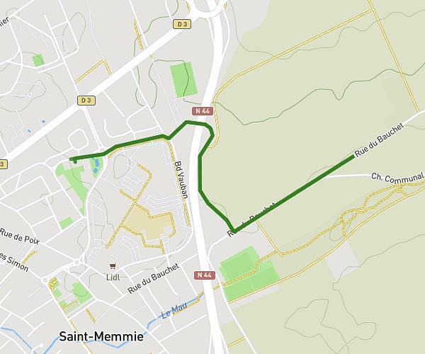
This running route covers 4.491mi starting from Châlons-en-Champagne, Marne. The run is a loop trail and returns to the trailhead. This run is rated as easy, expect about 1h2m to complete it. The route has an elevation gain of 16ft and an elevation loss of 69ft.
Saint memmie
Route details
4.34mph
Speed
710 kcal
Calories burned
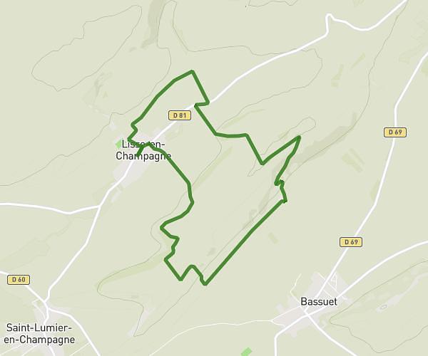
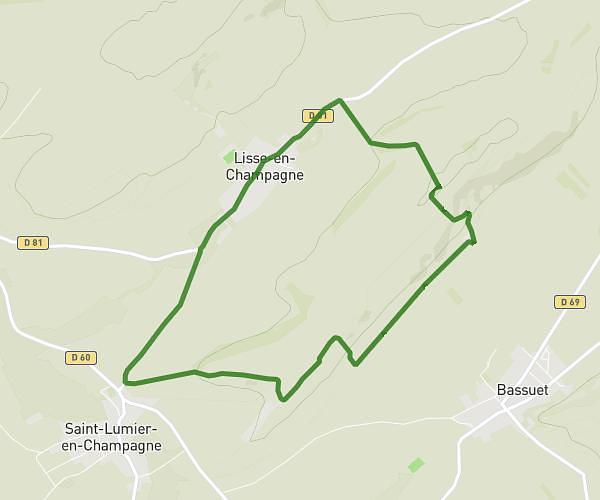
Loop trail
Route type
272ft
Min altitude
325ft
Max altitude
Route profile
16ft
Elevation gain
69ft
Elevation loss
272ft
Min altitude
325ft
Max altitude
How to get there
Trailhead: Avenue De Metz, 51000 Châlons-en-Champagne
GPS coordinates of the trailhead: 48.95764, 4.38028 / 48°57'27'' N, 4°22'49'' E