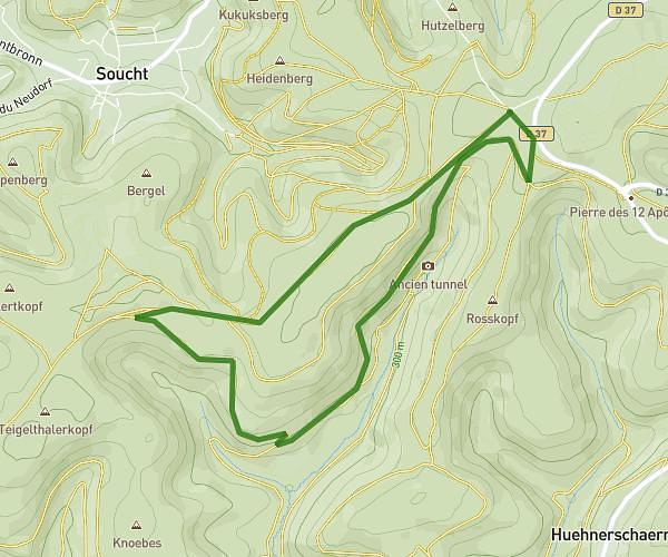
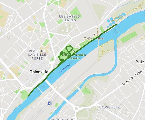
This running route covers 0.473mi starting from Woustviller, Moselle. The run is a loop trail and returns to the trailhead. This run is rated as easy, expect about 5m to complete it. The route has an elevation gain of 0ft and an elevation loss of 26ft.
woustviler 6 novembre
Route details
5.67mph
Speed
57 kcal
Calories burned
Loop trail
Route type
715ft
Min altitude
741ft
Max altitude
Route profile
0ft
Elevation gain
26ft
Elevation loss
715ft
Min altitude
741ft
Max altitude
How to get there
Trailhead: 4 Rue Des Vergers, 57915 Woustviller, France
GPS coordinates of the trailhead: 49.07523, 7.004787 / 49°4'30'' N, 7°0'17'' E