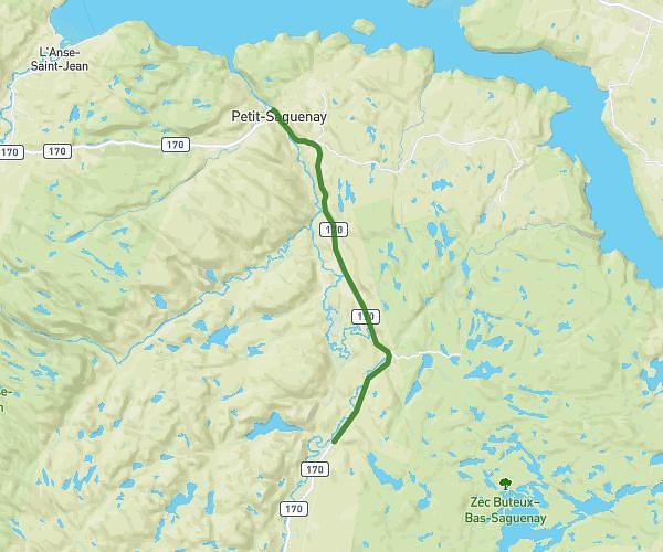
This hiking trail covers 32.003mi starting from Saint-Siméon, Petit-Saguenay, Quebec. The hike does not return to the trailhead and ends near G0V 1N0, Petit-Saguenay, Quebec, Canada. This hike is rated as moderate, plan for about 2h17m to complete it. The route has an elevation gain of 2116ft and an elevation loss of 1214ft.
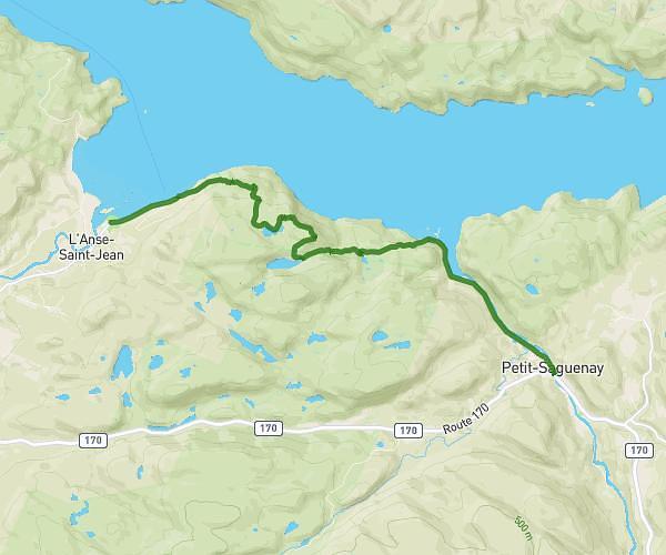
Jour 5 - Sagard / Refuge L’Épervier (option Les Palissades)
Route details
13.92mph
Speed
985 kcal
Calories burned
2.0%
Avg grade
Point to point
Route type
472ft
Min altitude
1473ft
Max altitude
Route profile
2116ft
Elevation gain
1214ft
Elevation loss
472ft
Min altitude
1473ft
Max altitude
How to get there
Trailhead: 269 Route 170, Petit-Saguenay, Quebec G0V 1N0, Canada
GPS coordinates of the trailhead: 48.08236, -70.0368 / 48°4'56'' N, 70°2'12'' W